Predict where floodwater could carry manure and nutrients off-site from large farm waste ponds during major storms, and identify which areas and buildings would be affected.
Developing linked watershed-hydrology and 2D hydraulic modeling workflows to simulate storm-driven flooding and nutrient/waste transport, translating results into site-level risk indicators.
- Project model files with documented assumptions
- Flood depth & affected-area maps
- Summary of which sites/buildings are at risk
- Technical memorandum describing methods & limitations
Automatically map land cover (fields, buildings, water, forest, etc.) across a large county from aerial photos, without existing sample data to start from.
Trained a machine-learning model to recognize land-cover types from imagery, ran it across the full county, and cleaned up the results — reaching 93.7% accuracy.
- Land-cover map (digital + printable)
- Accuracy report showing reliability
- Reusable process for future updates
- Cleaned map files ready for GIS use
Understand how rising sea levels and storms would push saltwater further inland and change how sediment moves through a major river delta.
Developed a hydrodynamic model to simulate water movement and saltwater intrusion through the delta under future climate scenarios.
- Saltwater intrusion maps under different scenarios
- Sediment/erosion change estimates
- Scenario comparison summary
- Written report
Help planners understand how future development and land-use change would affect local streams and water quality.
Modeled several future land-use scenarios and their downstream effects on water flow and quality, feeding results into a regional planning framework.
- Scenario comparison maps & data
- Water quality impact summary
- GIS layers ready for planning use
Identify which coastal communities were most at risk of their well water turning salty or contaminated, to help prioritize water resource planning.
Combined groundwater, soil, and coastal-proximity data into a GIS risk-scoring map that ranks areas by vulnerability.
- Risk-ranked map by area/community
- GIS layers for further analysis
- Plain-language methodology summary
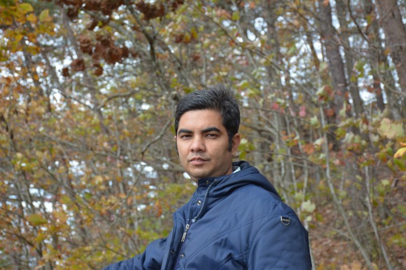
I'm a Ph.D. researcher at Virginia Tech with a background spanning geology, biological systems engineering, and environmental health — and hands-on experience running HEC-RAS and SWAT+ models for academic, agency, and international development projects across the US, Bangladesh, and the Mekong region. My work combines hydrologic modeling, GIS, and environmental analysis with an emphasis on reproducible methods, clear documentation, and practical communication. I build workflows in R and Python that are easy to update, review, and hand off to project teams, rather than one-off manual outputs.
- Ph.D. researcher, Population Health Sciences / Biomedical & Veterinary Sciences, Virginia Tech
- Published research in peer-reviewed environmental & water resources journals
- Conference presentations at AGU Fall Meeting (2023, 2024)
- Project experience across the US, Bangladesh, and the Mekong region